Blog
 Field notes: three watch floors, three calls on the same excavation
A December pass over a known site produced three different read-outs from three watch floors. Here's why winter imagery breeds that kind of disagreement.
 What is a baseline declaration in arms control treaty verification?
A plain explainer on baseline declarations: what they list, why they anchor later inspections, and how to track drift from a declared site.
 What is design information verification, and where does satellite monitoring fit?
DIV under IAEA safeguards explained, and where weekly satellite monitoring fits in the gap between scheduled design information checks.
 What is national technical means in arms control verification?
What national technical means (NTM) covers in arms control treaties, and how VHR satellite imagery fits the role today.
- Field notes: three years of watching one gate, and the week it opened
A compliance analyst's notes on watching one access control point for three years, and what the week it finally opened looked like.
- Estimating excavation volume from shadow length in satellite imagery
How analysts use sun elevation angle and shadow length in VHR optical imagery to rough out dig depth and excavation volume, and where the method breaks.
- Missile silo vs construction pit: telling them apart in satellite imagery
How to read shape, spoil, and hardening cues in VHR imagery to distinguish a launch facility dig from ordinary construction.
- What is a material balance area in IAEA safeguards?
A plain explanation of the material balance area (MBA), the accounting unit behind IAEA safeguards, and why its boundary is worth watching on the ground.
- Field notes: the winter a single new berm rewrote a site's threat assessment
A field-notes account of how one unremarked berm quietly upended a two-year-old threat assessment, and what it says about review cadence.
- Spoil pile vs. berm: telling them apart in satellite imagery
How to distinguish excavation spoil from an engineered berm in VHR optical imagery, by shape, shadow, texture, and behavior over successive passes.
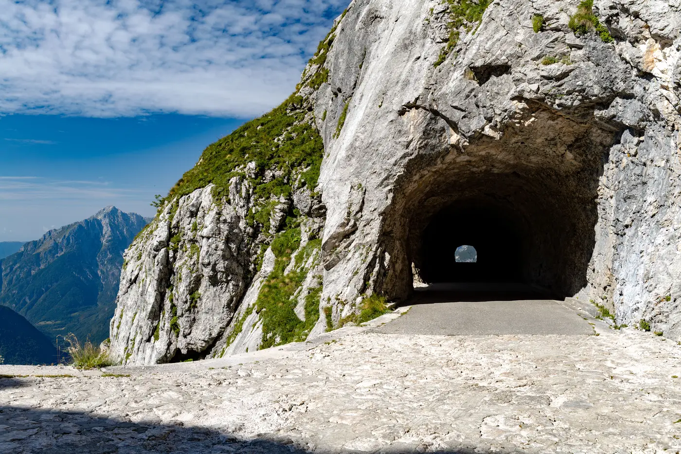 What is complementary access under the IAEA Additional Protocol?
A plain explanation of complementary access under the IAEA Additional Protocol: what it covers, how it differs from routine safeguards visits, and its limits.
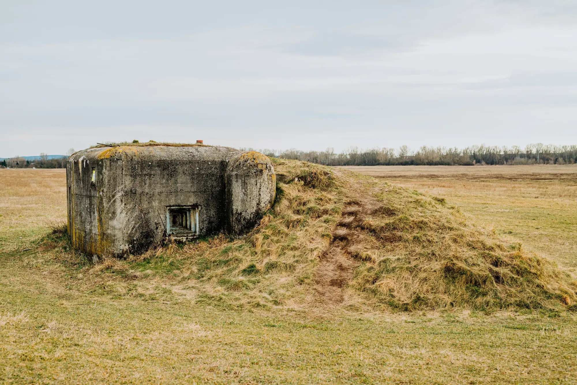 Footprint read vs. volumetric read: what each tells a treaty analyst
Footprint read and volumetric read answer different treaty-monitoring questions. Here's what each measures and when you need both.
- How to annotate a site map for a treaty verification report
A working format for marking construction, excavation and hardening on a site map so a verification report holds up under review.
- Declared vs. undeclared sites: what satellite imagery can confirm
A plain look at what VHR imagery can and can't tell an analyst comparing a declared facility against a suspected undeclared site.
- How to tell a cooling tower under construction from a finished one in satellite imagery
A field guide to reading cooling tower construction stages in VHR optical imagery, from foundation ring to finished shell with a working plume.
- Tunnel portal or underground facility entrance? Reading the signature in satellite imagery
How to tell a civil tunnel portal from an underground facility entrance in VHR satellite imagery, using grading, spoil volume, and surface infrastructure.
- What is site hardening in satellite imagery analysis?
What site hardening looks like in satellite imagery: berms, bermed structures, buried construction, and the reinforced facility signature analysts watch for.